Ecological Security
The world’s seventh largest desert, the Thar Desert spans an area of about 0.2 million sq km. About three-fifths of its total geographical area lies in the Indian state of Rajasthan, covering seven desert districts that together comprise the Marwar region.1 About 10 per cent of the Thar Desert eco-region is composed of sand dunes, and the other 90 per cent of craggy rock forms, compacted salt-lake bottoms, and interdunal and fixed dune areas. The climate is extreme with annual temperatures ranging from near-freezing in the winter to more than 50 oC during the summer. All rainfall is associated with the short July–September southwest monsoon that brings a mere 100–500 mm of precipitation. The habitat is greatly influenced by the extreme climate. Vegetation of the region consists mainly of xerophilious grasslands and scrub vegetation consisting of low trees and shrubs. In terms of fauna, a variety of resilient species have survived and adapted to the extreme conditions. Mammalian fauna consists of 41 species that inhabit the open plains and grasslands, including the blackbuck (Antilope cervicapra), chinkara (Gazella bennettii), caracal (Felis caracal) and the desert fox (Vulpes bengalensis). Eleven reptile species have been reported from the western Thar region. About 141 birds are known to visit the eco-region, including the great Indian bustard (Chirotis nigricaps), a globally threatened species; migratory birds including the cranes (Grus grus, Anthropoides virgo); and flamingos (Phoenicopterusspp.).
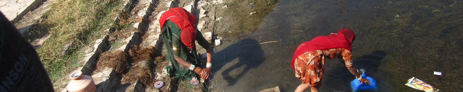
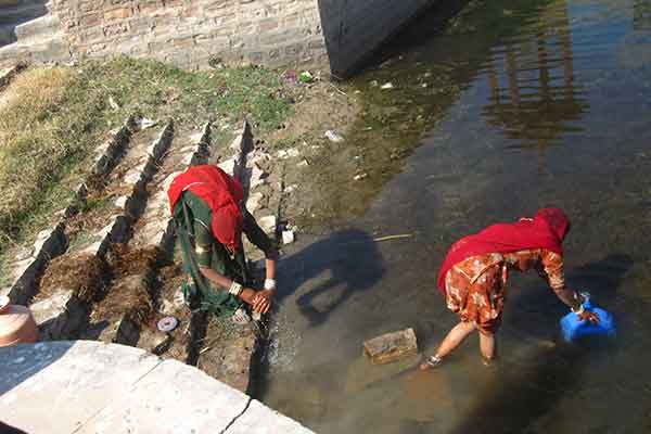 The Thar Desert is one of the most densely populated deserts of the world with 84 to 90 people per sq km (compared to 3–6 in other deserts). The human population has increased from 5.8 million in 1950 to 22.5 million in 2001. Similarly, the livestock population has increased from 13.7 million in 1961 to 32 million in 1997. Unsustainable human and livestock pressure (overgrazing, encroachment, and over-harvesting of forests) is leading to degradation of land resources—forests, pastures, habitats and species—and water sources. Grazing of livestock is intensive, affecting soil quality and destroying native vegetation. Many edible perennial species are being replaced with inedible annual species, changing the vegetation composition and ecosystem dynamics. Forests are in a degraded state; biodiversity is threatened as a result of overgrazing of pastures and the encroachment and over-harvesting of forests; water resources have declined as a result of reduced run-off and silting of water bodies due to increased soil erosion from lack of vegetative cover. Data on Iso-Erosion rates for India indicates that this region is affected by moderate to severe erosion.1 In terms of climatic factors, 88.7 per cent of the land area of Rajasthan is defined as drought-prone, as against 14 per cent of the total area of the country, or 33 per cent of the total arable land. Further, the National Communication to the UNFCCC on vulnerability assessment to climate change identifies the Luni watershed, which occupies about 60 per cent of the area of Rajasthan, as the most likely to experience acute water-scarce conditions in the country. Anthropogenic pressures, combined with climate variation, are not only destroying the fragile desert ecosystem and threatening the livelihoods of its inhabitants, but also impacting adjacent areas, through changes in water flow, micro climate, and human migration.
Traditional natural resource management in Rajasthan is characterized by community-managed lands, consisting of: Agors (A), areas that traditionally served as catchments for water bodies; Gouchars (G), areas that served as community grazing lands; and Orans (O), areas that served as community forests (sacred forests). All three community resources were traditionally managed by the village community. AGOs account for over 50 per cent of the geographic area of the Thar region. Over the years, the total land area under communally managed AGO lands has declined and the level of degradation of the remaining AGOs has greatly intensified. This is mainly due to encroachment and conversion to agriculture, conversion for settlement, roads, community assets, and inappropriate afforestation programmes, further increasing livestock and human pressure on the remaining AGOs. In recent years, there has been a breakdown of the traditional resource use regime. Grazing lands have effectively become open access resources with no system for controlling and monitoring their use. Although specific data for the Thar Desert region is not available, national data shows a decline of common property resources ranging from 26 per cent to 52 per cent in several states of India during the last four decades,1 with Rajasthan being among the more severely affected states. Traditionally managed AGO lands are repositories of biodiversity and the source of multiple products such as grass, fodder, fuel wood, timber, and non-timber tree products. Protection and management of AGOs are fundamental to the survival of agro-ecosystems in desert areas, as well as maintenance of ecosystem stability, integrity, functions, and services.
Jal Marudhara Foundation has facilitated micro projects dealing with common property resource management where the development of catchment areas and pasturelands addresses the issues of land degradation and biodiversity loss. Model plantations of local trees and fodder are promoted to showcase integrated models of water and land management. The objective is the development and implementation of an integrated and participatory natural resource planning and management strategy in a selected arid region of the Thar Desert in Rajasthan that is subject to recurrent droughts and land degradation. Active community participation has created an impetus to revive the rich local traditions of water and land management under which water bodies and agors, gauchars, and orans are developed and controlled by people’s institutions. This has also emerged as a strategy for adapting to the adverse and changing climate in the region.
The process of implementation follows a decentralized approach that ensures the capture and integration of climate change variables into natural resource management. It stands on the pillars of community mobilization, people’s participation, and capacity building of village-level institutions to increase the sense of ownership of community resources. The expected outcomes are the creation of an enabling environment through raising awareness about climate-resilient natural resource management, the development of community-based participatory water and land management models, and the capacity development of communities for the sustainable management of natural resources as an adaptive strategy for climate change. With the support of JMF, the communities have come forward to develop and manage their common property resources to combat land degradation, conserve the desert ecosystem, and protect the local biodiversity.
As part of their water development activities, the communities have enhanced the capacity and efficacy of their rainwater-harvesting structures, which helps combat land degradation and soil erosion, and brings about synergy between land and water development initiatives. JMF has also developed a silvi-pasture model based on effective and proven practices of water and land development, and accompanied by a strong sense of community ownership. JMF promotes the planting of local species of hardy, drought-resistant trees for biodiversity preservation and environmental conservation. Plantation work reduces soil salinity, improves soil fertility, controls water logging, prevents soil erosion, and combats the greenhouse effect.